
Catalog

254 record(s)
Type of resources
Available actions
Topics
Keywords
Contact for the resource
Provided by
Years
Formats
Representation types
Update frequencies
Status
Service types
Scale
Resolution
-
Concentrations horaires issues du réseau fixe de mesure des principaux polluants réglementés dans l'air ambiant à La Réunion : SO2, NO2, NOx, PM10, PM2.5, O3 et CO
-
Concentrations annuelles issues du réseau fixe de mesure des principaux polluants réglementés dans l'air ambiant à La Réunion : SO2, NO2, NOx, PM10, PM2.5, O et CO
-
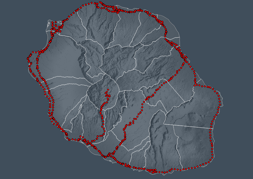
PR: Points repère des Routes Nationales plus connus historiquement sous le nom (trompeur) de borne kilométrique.
-
Concentrations journalières issues du fixe de mesure des principaux polluants réglementés dans l'air ambiant à La Réunion : SO2, NO2, NOx, PM10, PM2.5, O3 et CO
-
Concentrations mensuelles issues du réseau fixe de mesure des principaux polluants réglementés dans l'air ambiant à La Réunion : SO2, NO2, NOx, PM10, PM2.5, O3 et CO
-
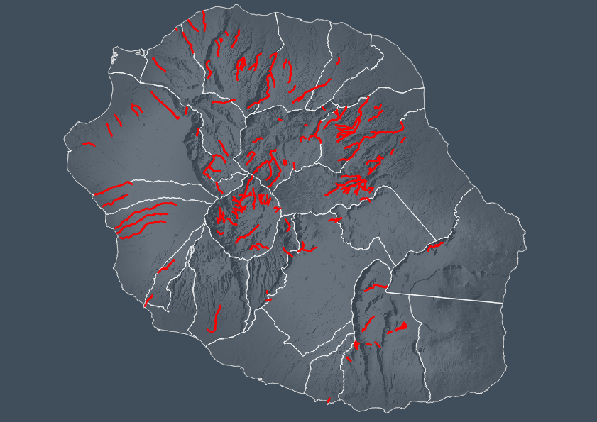
Inventaires des canyons "pratiqués" de La Réunion Si publication, citer obligatoirement les sources : cf généalogie Structure : id Smallint NOM Char(35) Nom_2 Char(47) Ravine Char(28) SECTEUR Char(20) TypologieApproche Char(20) TypologieRetour Char(20) Fréquentation Char(15) OBSERVATIONS Char(100) TPS_Parcours Smallint DuréeTotale Decimal(4, 1) TPS_Approche Integer TPS_Retour Integer IdApproche Smallint IdRetour Smallint LocalisationParc Char(20) IDParkingAssocié Smallint StatutParc Char(20) interdit Char(1) RaisonInterd Char(100) long_sig Integer Frequentation Smallint
-
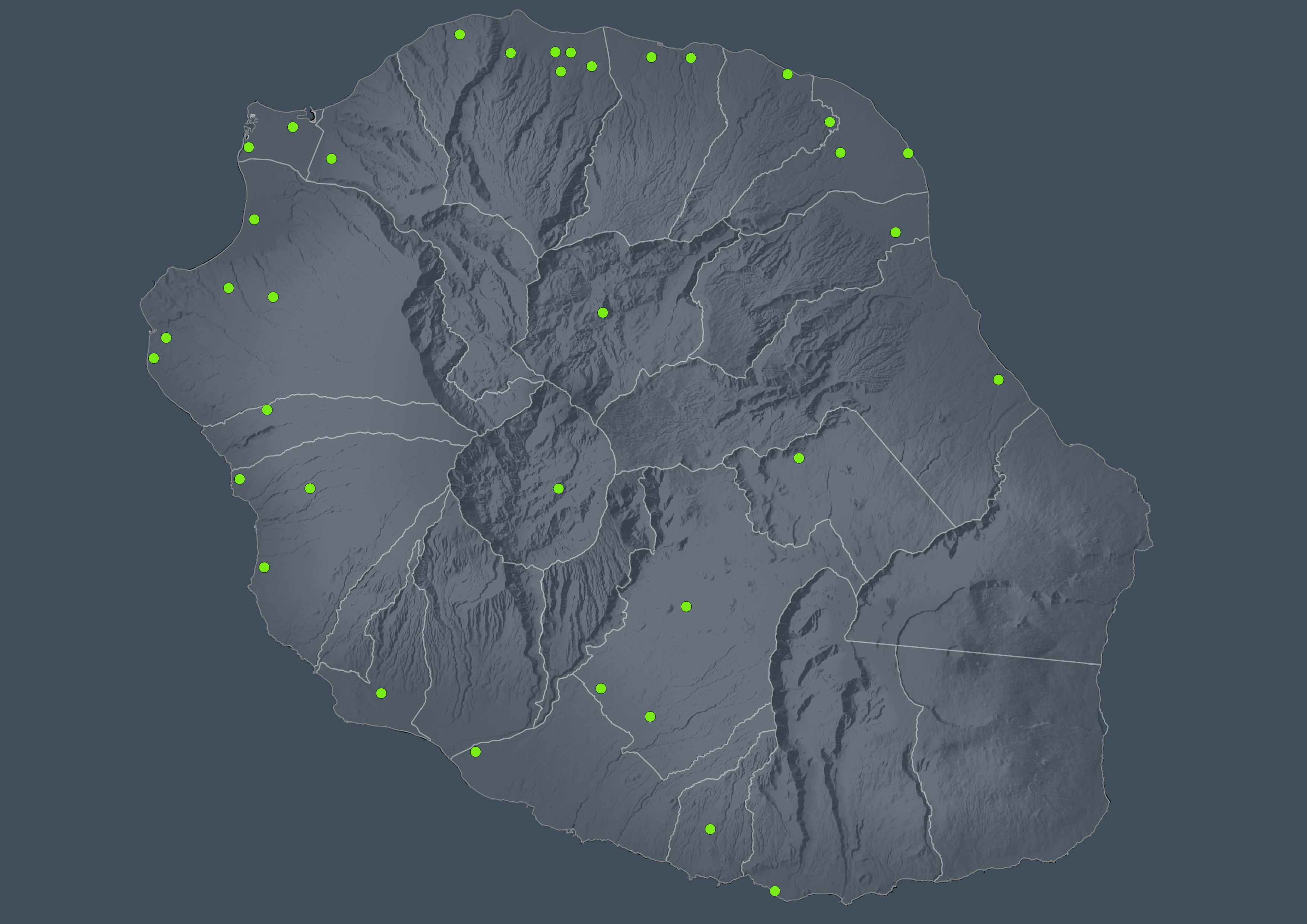
Les décheteries de la Réunion
-
La BD TOPO® version 2.1 contient une description vectorielle 3D (structurée en objets) des éléments du territoire et de ses infrastructures, de précision métrique. Elle est livrée pré-symbolisée dans les formats propriétaires les plus courants du marché. Les objets de la BDTOPO® sont structurés en thèmes : - le réseau routier et son adressage - le réseau ferroviaire - le réseau de transport d'énergie - le réseau hydrographique - les bâtiments - la végétation arborée - l'orographie - la structure administrative - les points d'activité ou d'intérêt (PAI) - les toponymes de lieux-dits. Le processus de production 3D permet de fournir l'altimétrie des objets, ainsi que la hauteur des bâtiments. Le relief est décrit sous forme de modèles numériques de terrain (MNT). Dans la version 2.1, tous les objets possèdent un identifiant unique et stable dans le temps.
-
Plateforme agréée de traitement des VHU à La Réunion
-
Tracé de la Voie Vélo Régionale Type / Etat / Exploitant Longueur des tronçons. (VVR septembre 2022)